
Significant Natural Areas
This consultation has now closed.
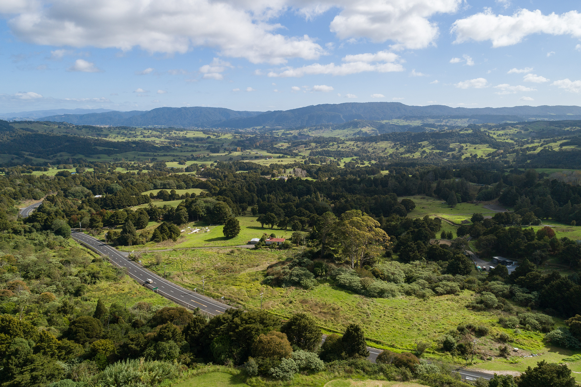
Our District is home to a range of unique landscapes, species and habitats, many of which are under threat. Council is required to identify these habitats and to protect them through a District Plan. While there are already rules in the current District Plan to manage these habitats, we are now required to identify these areas and manage them more specifically in a new District Plan.
The Proposed District Plan will be notified on Wednesday 27 July, 2022. Far North property owners will receive information in the mail about next steps. Bookmark pdp.fndc.govt.nz to view the ePlan and submit (live from 27 July).
Closing the loop on targeted engagement (2021)
There was a lot of public interest in significant natural areas and the methods to protect, maintain and enhance indigenous biodiversity in the Far North. We want to let you know how your feedback is reflected in the Proposed District Plan and how we have balanced community voices with the need to give effect to the Regional Policy Statement for Northland.
One key change is that maps of significant natural areas are not included in the Proposed District Plan. Indigenous vegetation clearance is permitted for various land uses subject to limits. See below for a more detailed summary of the ways council is proposing to protect indigenous biodiversity in the Far North. You can also view this summary on our website here.
The Proposed District Plan will be notified on 27 July 2022 and the council will be accepting submissions on the plan until 21 October 2022. If you are a Far North ratepayer you will receive notification in the mail.
Submitters have the right to participate in hearings before an independent hearing panel. Submitters also have the right to appeal to the Environment Court if they disagree with the council’s final decision.
Full information will be available at pdp.fndc.govt.nz once the plan is notified. This includes a link to the ePlan where you can view the chapter on Ecosystems and indigenous biodiversity under Part 2 District-wide matters – Natural Environment Values.
Rules relating to clearance of indigenous biodiversity will have immediate legal effect under section 86B of the Resource Management Act when the proposed plan is notified on 27 July. These rules are indicated in the proposed plan text by a red gavel symbol. Please note that the rules in the Operative District Plan will also apply to indigenous biodiversity until a final decision on this chapter is made.
If you have further questions, please email pdp@fndc.govt.nz or call 0800 920 029 and ask for the District Planning Team.
Summary of the ways council is proposing to protect, maintain and enhance the Ecosystems and indigenous biodiversity chapter for the protection, maintenance and enhancement indigenous biodiversity in the Far North:
- The Proposed District Plan includes voluntary methods to protect and manage indigenous biodiversity.
- The rules are triggered by proposals to clear indigenous vegetation.
- Maps of significant natural areas are not included in the Proposed District Plan. Instead, areas of significance are progressively defined according to Northland Regional Council’s criteria in Appendix 5A of Regional Policy Statement for Northland.
- In the absence of district-wide maps, an ecological assessment will be required to decide whether Appendix 5A criteria are being met (and an area of indigenous vegetation or habitat of indigenous fauna is a confirmed significant natural area).
- In line with the Operative District Plan, there are permitted thresholds for indigenous vegetation clearance without an ecological assessment i.e. regardless of whether it is a significant natural area, with additional provisions allowing clearance:
- for biosecurity reasons
- for the construction of a single residential unit on a title and essential associated on-site infrastructure and access where it does not exceed 1,000m² in area
- where it is provided for in an Open Space Covenant under the Queen Elizabeth II National Trust Act 1977, a Ngā Whenua Rahui Kawenata, a Conservation Covenant under the Reserves Act 1977 or the Conservation Act 1987, or a Heritage covenant under the Heritage New Zealand Pouhere Taonga Act 2014.
- The Proposed District Plan introduces a permitted activity rule for the clearance of indigenous vegetation within a confirmed significant natural area for papakāinga and marae, allowing:
- 500m² per residential unit
- 1,500m² for a Marae complex, including associated infrastructure and access
- There is a new permitted activity rule for the clearance of indigenous vegetation within a confirmed significant natural area allowing 100m² per site in any calendar year.
- Where vegetation clearance is proposed outside of a confirmed significant natural area, a further rule provides that the following amounts can be cleared over a five-year period per site:
Rural Production zone, Horticulture zone, Māori Purpose zone and Treaty Settlement Land Overlay | 5,000m² if not in a remnant forest, otherwise 500m² in a remnant forest |
All other zones | 500m² |
- If, however, there is no ecological assessment to demonstrate whether vegetation would be classified as a significant natural area, vegetation clearance is limited to 100m² per site in any calendar year.
- There is a new subdivision rule based on protecting significant natural areas through subdivision. This can allow smaller, rural lifestyle lots (minimum 2ha) in the Rural Production Zone where significant natural areas are identified, protected, mapped and scheduled.